


Cairo to Montezuma
300 miles of the Big Momma Lower Mississippi from Ohio River Confluence

Lower Mississippi River Dispatch No. 992
"Voice of the Lower Mississippi River"
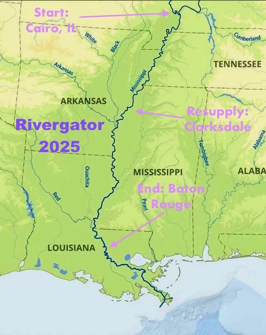
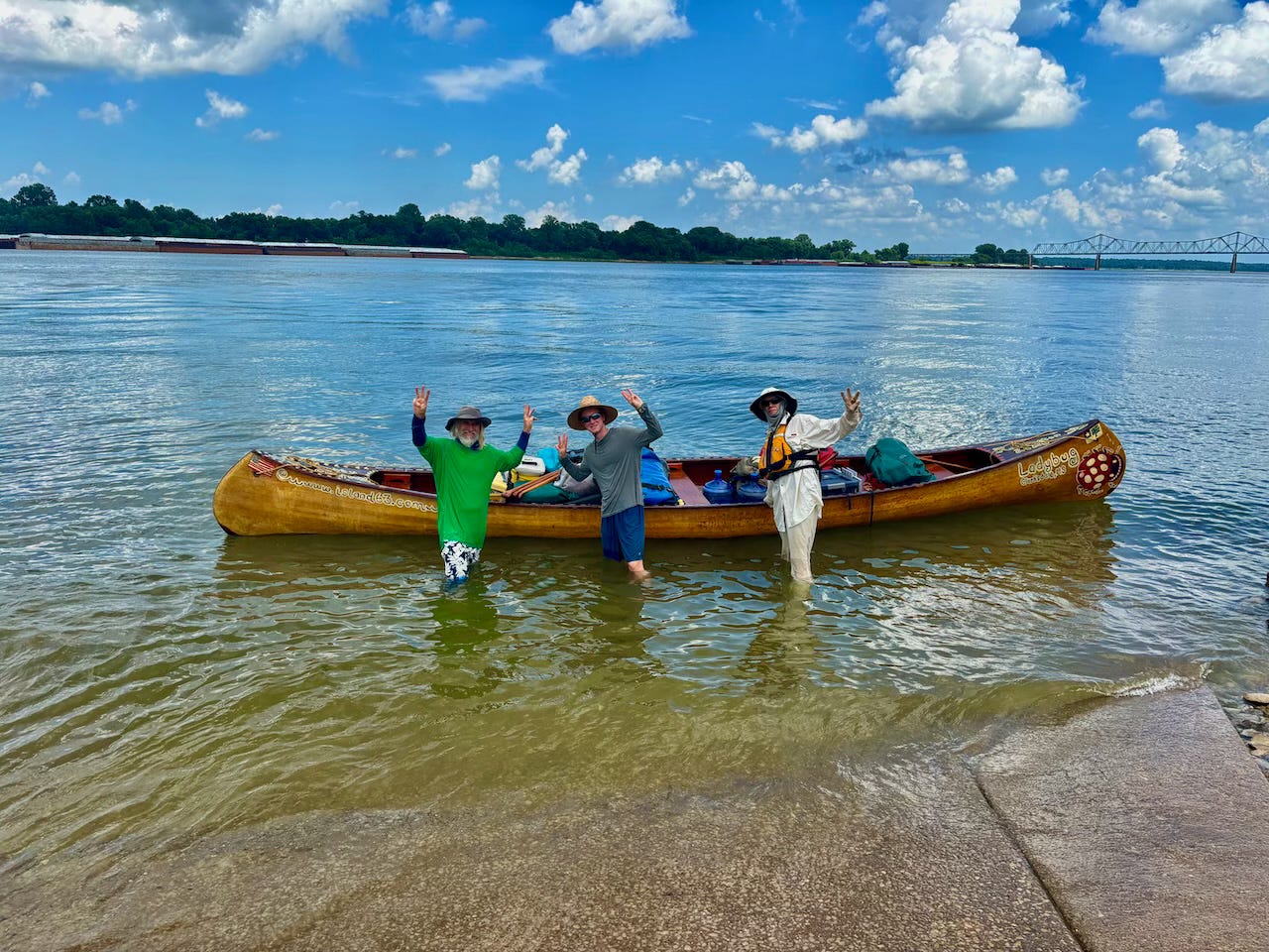
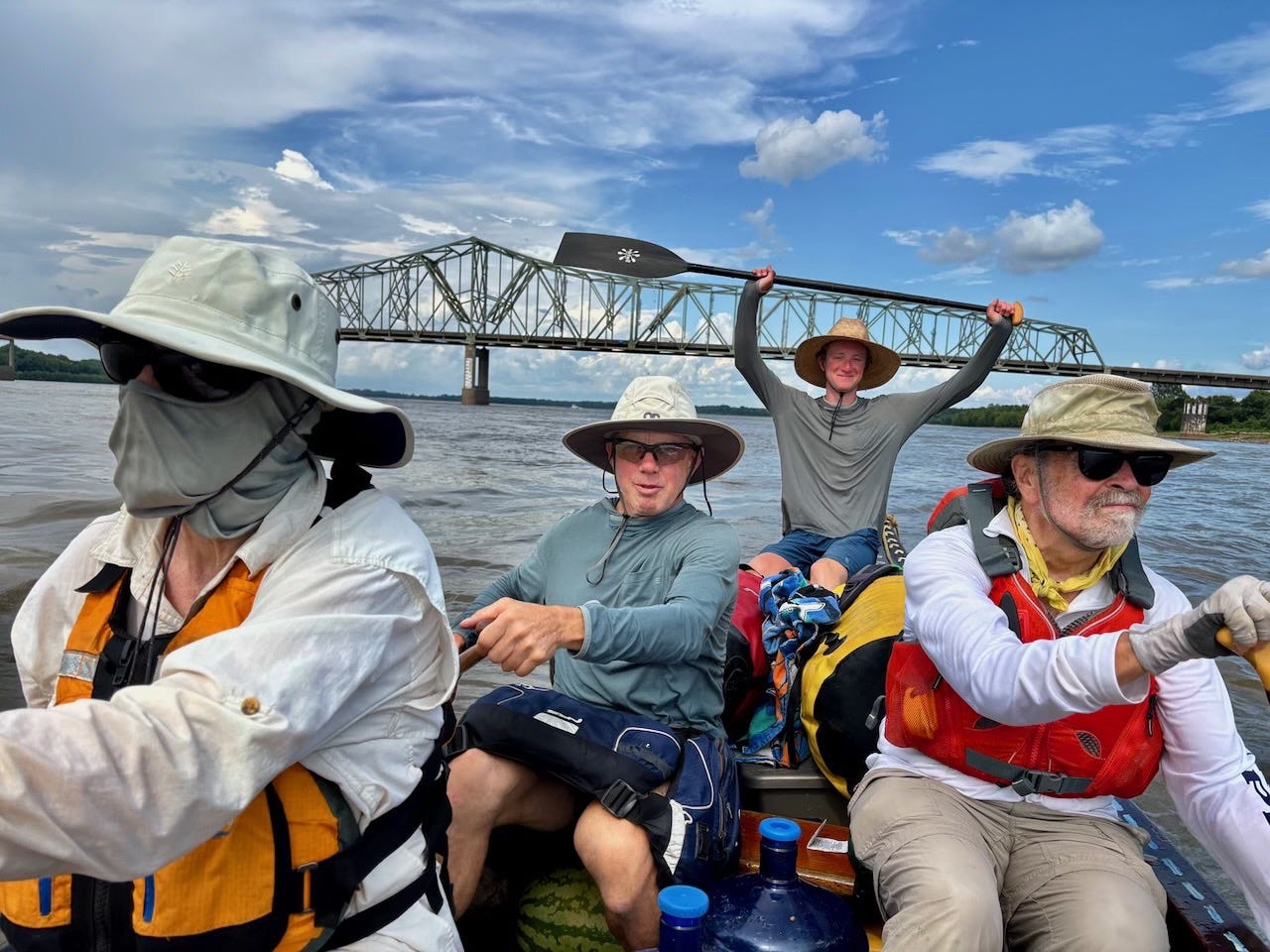
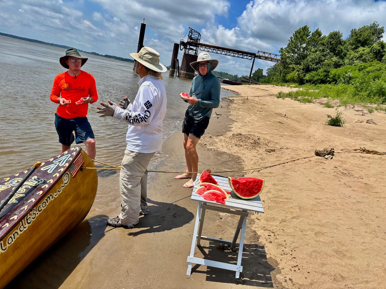
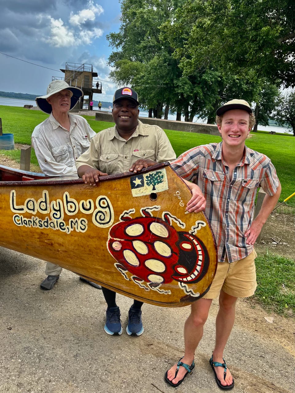
Rivergator 2025 Expedition set off downstream from the confluence of the Ohio & Middle Mississippi at Cairo, IL, Wed, July 16th, and continued 300 miles downstream to Montezuma Landing (Coahoma County, MS). Today we are resupplying, repacking, downloading photos and pouring over maps. Pushing off again tomorrow -- and continuing on downstream through the Deep South. The goal next week is 365 miles to Baton Rouge.
Documentation & exploration on the biggest river in North America to update the Rivergator Paddler’s Guide (and simultaneously the Wild Miles).

What has changed?  What remains the same?

Expedition run by Quapaw Canoe Company with support from Lower Mississippi River Foundation.
Documenting Wild and Not Wild Miles


Taking Water Samples (qualitative comparison)


Exploring & Documenting Nature


Identifying Best Campsites


Wild Miles


Not Wild Miles


Primary Purpose of Expedition: Updating the rivergator.org: along the way, we will be reading the one-million word Rivergator (published 2017) and observing any changes that might have occurred in the past 8 years. One of your primary tasks aboard this expedition will be to provide a seasoned “second pair of eyes” to help note subtle (or not so subtle) differences between that described in publication, and that seen. Most important will be paddler-important subjects such as public landings, island campsites, and resupply access. Also of keen interest will be river conditions, main channel conditions, back channel access, navigation hazards, and navigation aids. We will document wildlife along the way, especially any threatened or endangered species such as the pallid sturgeon and pocketbook musslehell.
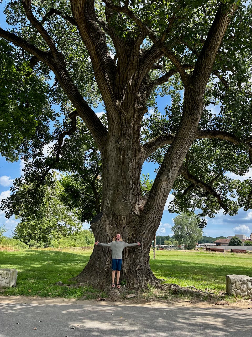
Secondary Purpose of Expedition: Updating Wild Miles: simultaneously, we will be updating the wildmiles.org listing the along the Middle and Lower Mississippi River. Wild Miles are the places where nature predominates and nothing is seen of mankind save passing tows (and other river traffic) and maybe a tiny hunting camp or a single fisherman buzzing by in a johnboat. These are places where the landscape is filled with giant islands bounded by endless mud banks & sandbars, where the river is overseen by big skies and where the sun sets uninterrupted by buildings or wires and where big river predominates with creative wild beauty, each high water results in shifting sand dunes and re-made sandbars. This is a floodplain valley where only deer & coyote tracks are seen along the sandbars and enormous flocks of shy birds like the White Pelican and Double Breasted Cormorant are comfortable enough to make landing for the night. These are places where it’s dark & quiet at night, where the stars fill the skies like brightly shining jewels poured out on a dark purple velvet blanket, almost as thick & vibrant as the night skies of the Great Plains or Rocky Mountains.
Big Changes:
We noted significant changes at these places:
1) Fort Defiance Cairo Confluence ramp completely overgrown and muddied over
2) Island No. 1 Boat Ramp now open & usable
3) Ingram Towing grown in scale in Columbus, KY, area, miles of fleeted barges on both sides of river. Paddlers be vigilant. Creates dangerous situations when hemmed in by barges.
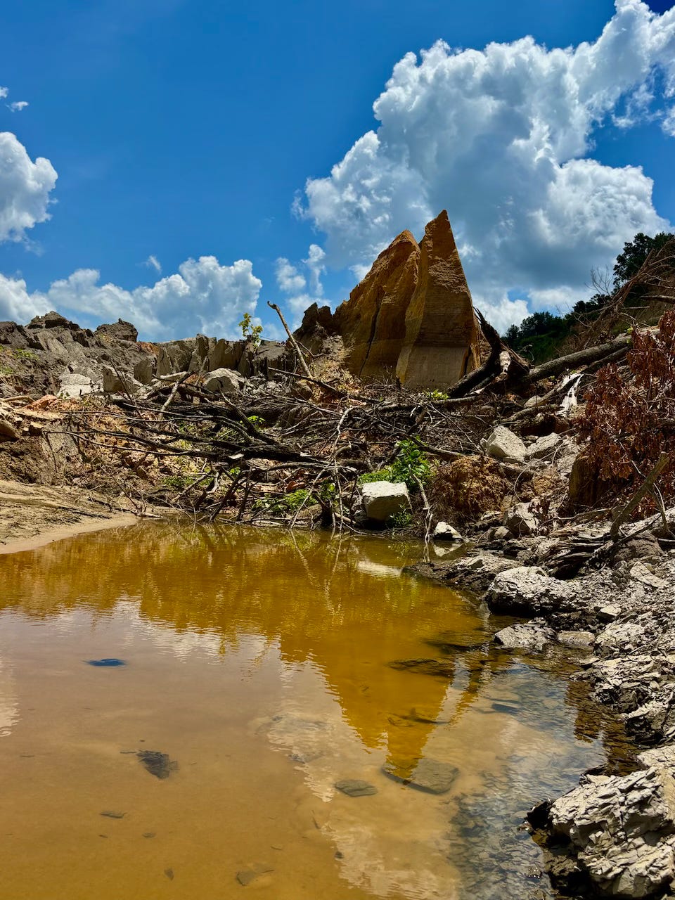
4) SE Missouri and NE Arkansas Steel and power industry has grown big time, many Wild Miles ruined
5) Major rip-rap rock fortification installed around the outside of many big bends of river as result of bankside erosion from 2011 flood
6) Massive bluff collapses and new muddy prominences seen in the ever evolving landscapes around the 1st and 2nd Chickasaw Bluffs
7) Many Western Kentucky and Western Tennessee drainages have been scoured out, deepened, and sometimes jammed full of fallen trees and destroyed docks & buildings by localized Spring 2025 catastrpohic flooding
8) Upper Fawn Island destroyed by Spring flood, 5% remains, soon to be consumed completely by river. Lower Fawn intact. (Upper Fawn was an approx 100 acre landmark island, at the top of Buck Island Back Channel. We guided TV star & travel chef Anthony Bourdain to Upper Fawn, and cooked with him over willow fire.)
(Note: I will be adding items to this list as I remember them)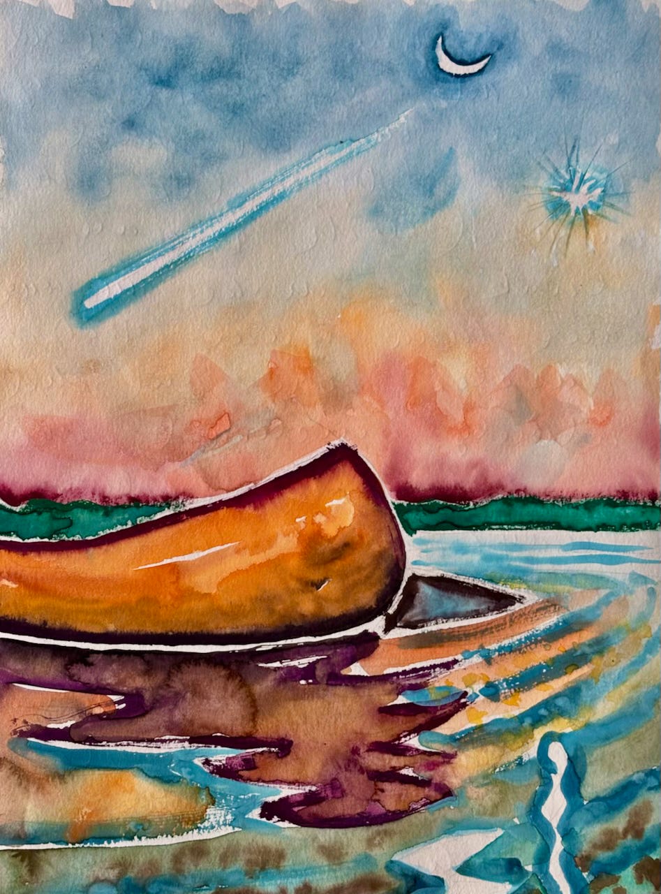
Unusual Sights:
Unusual sights from the last week include:

1) black moth with chalkboard colored spots

2) lots of "express tows" pushing north with empty barges (making big waves, and sometimes very chaotic convulsions of water)

3) Pleiades and Orion have returned to early morning sky

4) Persiads falling star showering over us

5) Bald eagle sightings every day

6) Strong bald eagle population in Hickman to New Madrid stretch of river, especially around Is. No. 8

7) Every day several dead fish seen floating along downstream -- perhaps due to eutrophication of small tributaries and adjacent wetlands?

8) Big fat beaver at base of Brandywine Island

9) a helicopter spraying an agricultural field

(Note: I will be adding to this list as I remember them)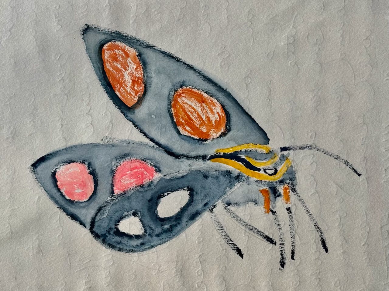
Quapaw Canoe Company ~ Celebrating 27 Years of Service
Custom Guiding & Outfitting on the Lower Mississippi River
Winner of the SBA 2024 Small Business of the Year Award
Your citizen science exploration and updating documentation logs are interesting and much appreciated. Thanks for caring and sharing!
Fabulous John-- I wish I had more hours in the day to take in all that you're sharing! Without seeing the previous comments...I just wrote "Spectacular Images" as well. You are the Beating Heart of the Lower Mississippi!